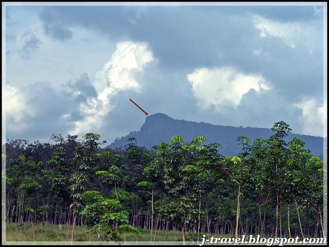
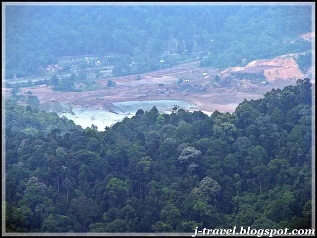
 The read arrow show the peak of the mountain
We park our cars at the specific area (N1°48.564' E103°51.072'). We took 30 minutes for preparing....and started our journey to the peak of Mount Panti.
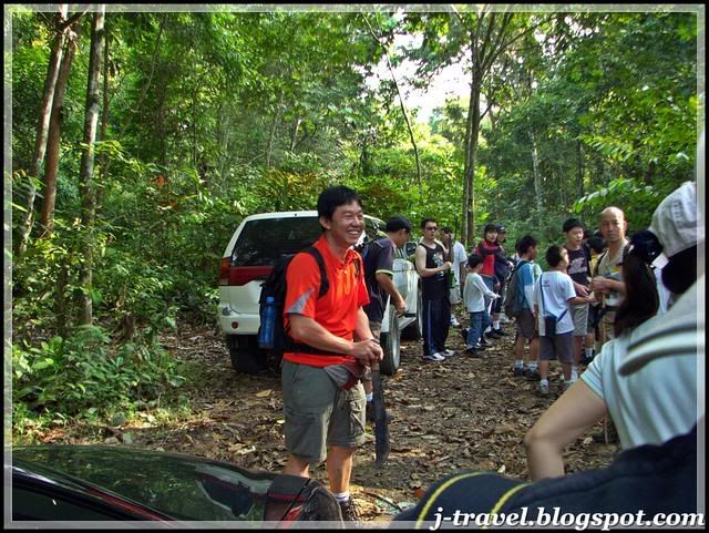 Our leader (Teck) doing short briefing before the journey...
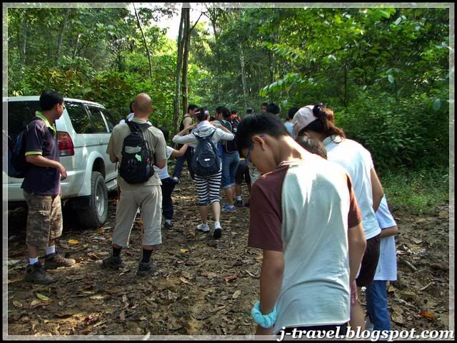 Everyone's get ready.....
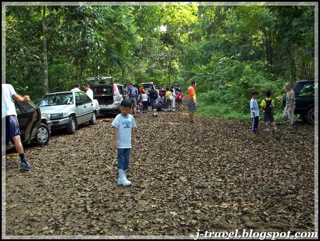
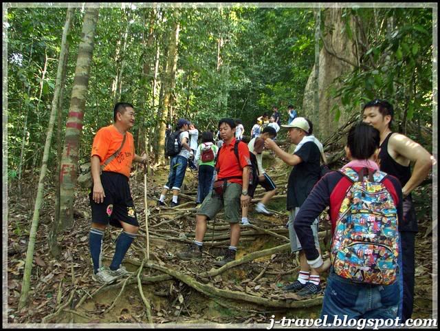
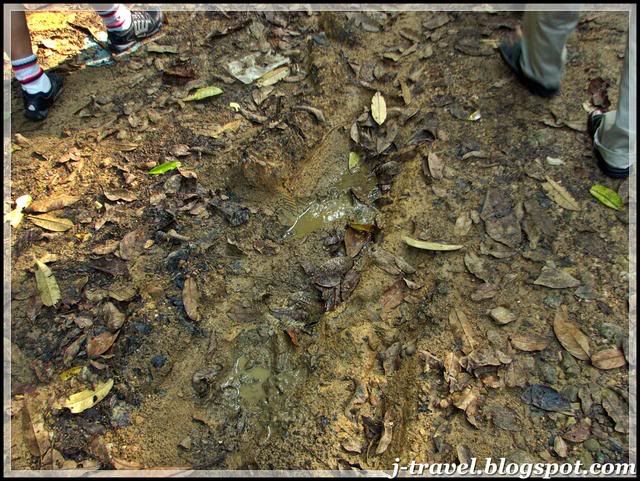 The trail condition of the day...
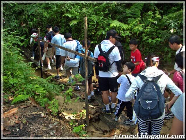 This was also a family outing, you can see there were few families came with their family members.....
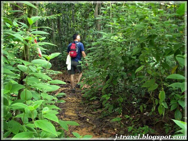 The trail started...
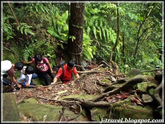
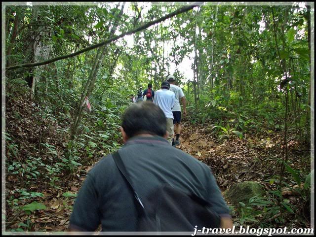 Ascending.......
 Obstacle....(It's were everywhere)
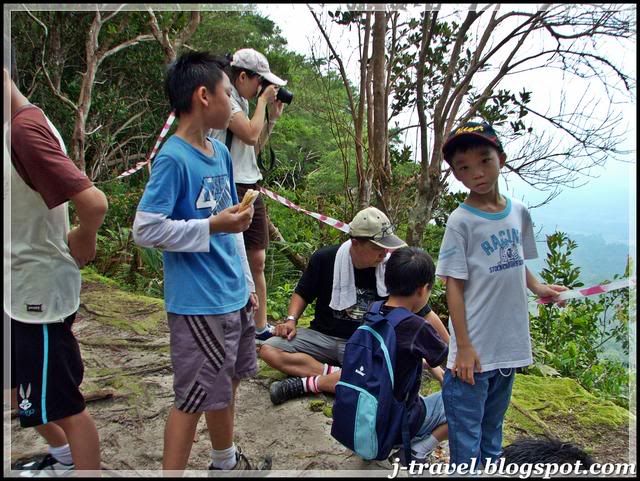
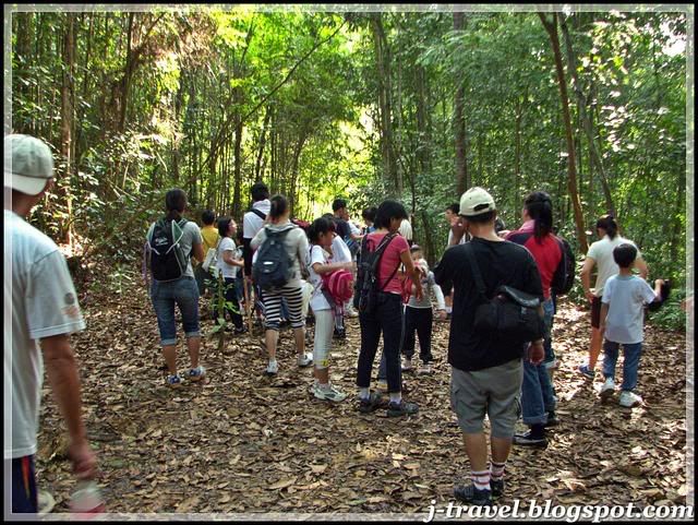 Our first stop at altitude 85 meter...
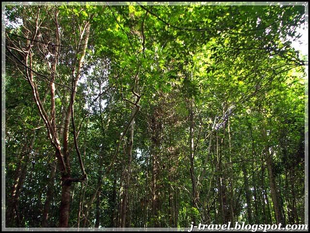 This forest wasn't that thick, we saw sunlight most of the time...
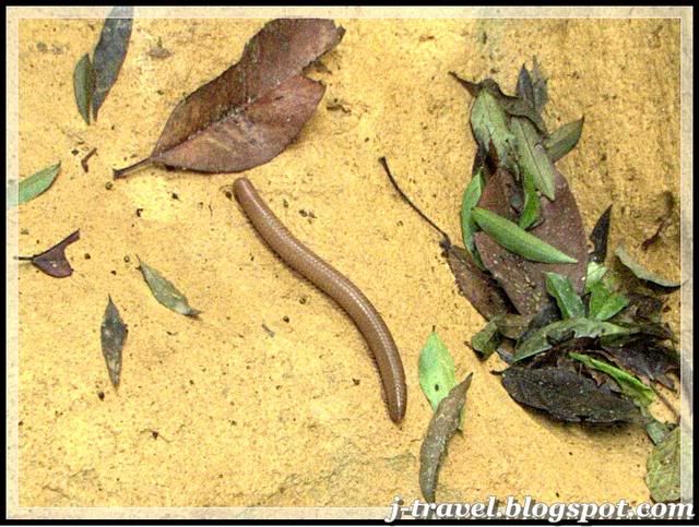 As you can see the trail was keep on ascending, the leaders of our group were taking good care of those slow mover....and they make sure everyone reached the rest point before we continue our journey....
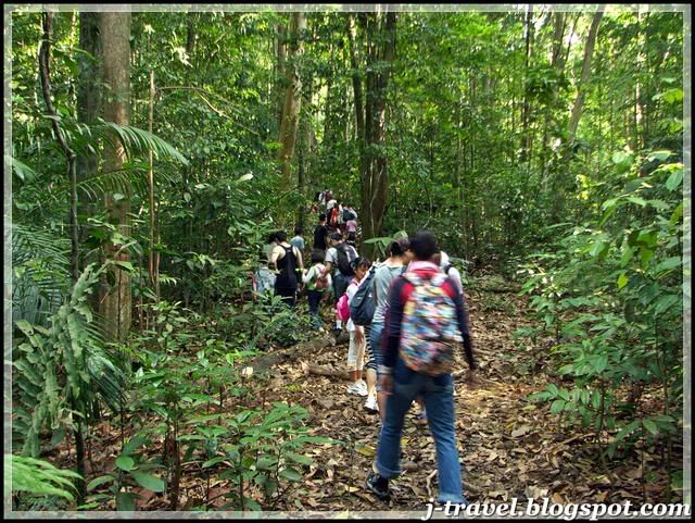
 The second stop at the altitude 150 meter...
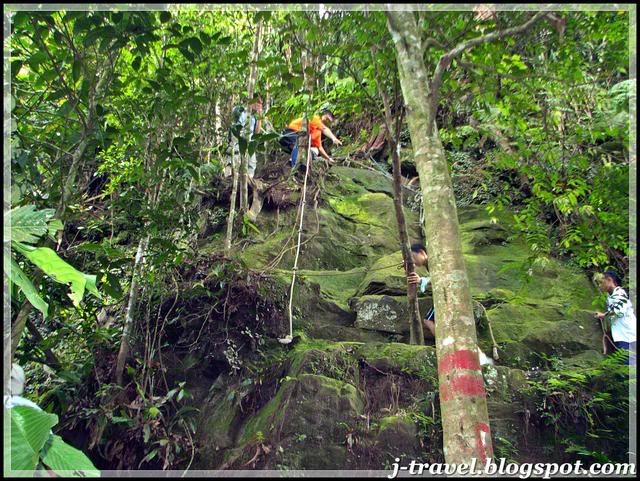
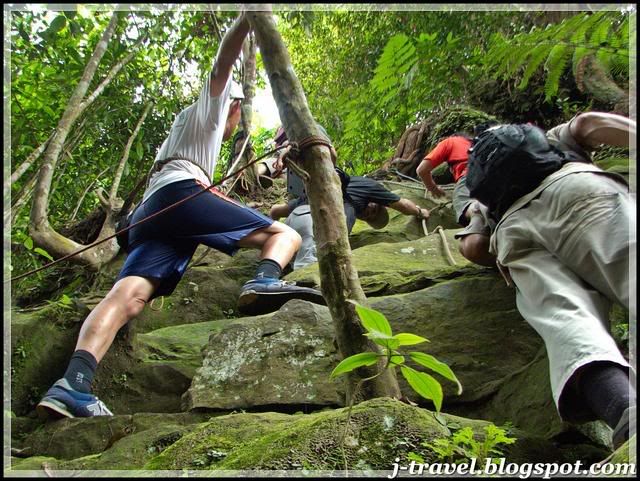
After about 1 hour 30 minutes, all the 36 hikers reach the exciting part of the mountain, the last path to the peak. It's actually a big rock to climb! (about 10 meter high)
The steps were narrow and slippery, it's only 'rope' for you to hold. The group of 7-8 experience hikers are standing by at the different danger cliffs to guide others hikers to pass through this rock climbing session. I really like the Team Spirits and the moment we got over this session!!
The steps were narrow and slippery, it's only 'rope' for you to hold. The group of 7-8 experience hikers are standing by at the different danger cliffs to guide others hikers to pass through this rock climbing session. I really like the Team Spirits and the moment we got over this session!!
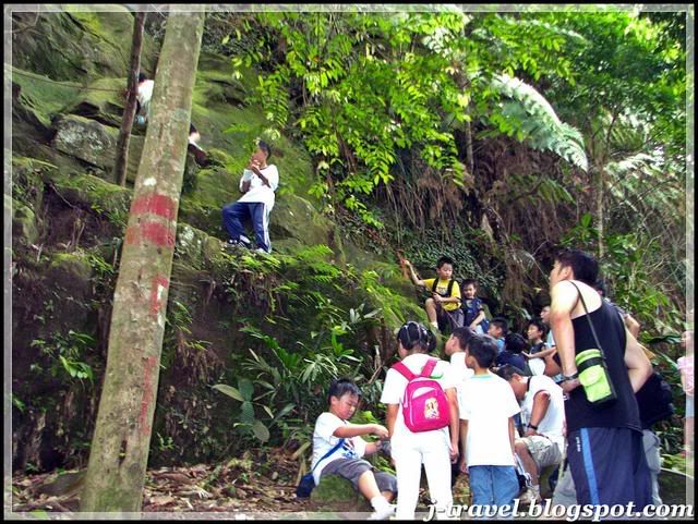 The kids are ready to climb, surprisingly the youngest hiker was only 6 years old!! YES, she's only 6 years old!
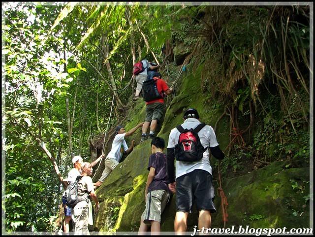
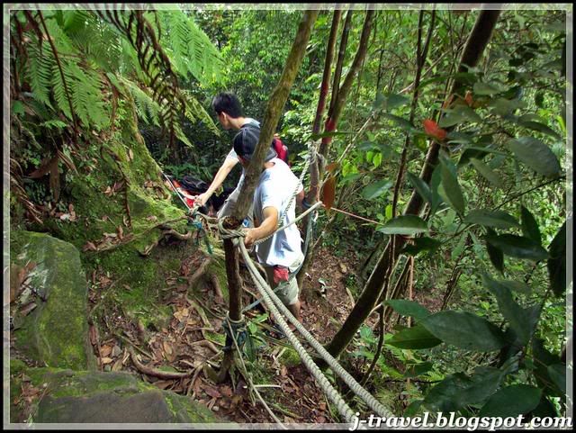 After the big rock, you will come to a narrow space to continue the climbing without a proper trail....basically, it's still climb on the rock but in smaller scale.....
We took about one hour to help all the young and old hikers to pass through this session. And continue about 20 meters, we reached the Peak of Mountain Panti!! (Total time for 36 hikers - 2 hours 30 minutes)
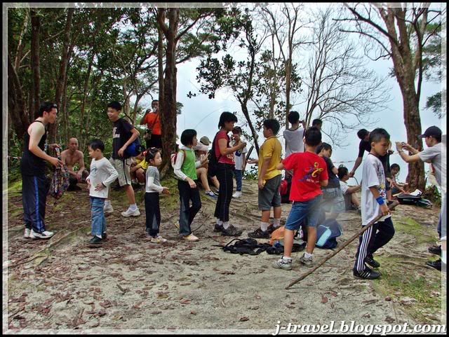
 The children and others were celebrate their successful moment!!
The height of the mountain is 250 meters. But my GPS shows 280 meters and my Casio Protrek watch shows 490 meters! I'm not sure which is correct!?
 Female photographer...
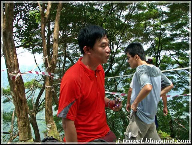 Our leader explaining the trail...
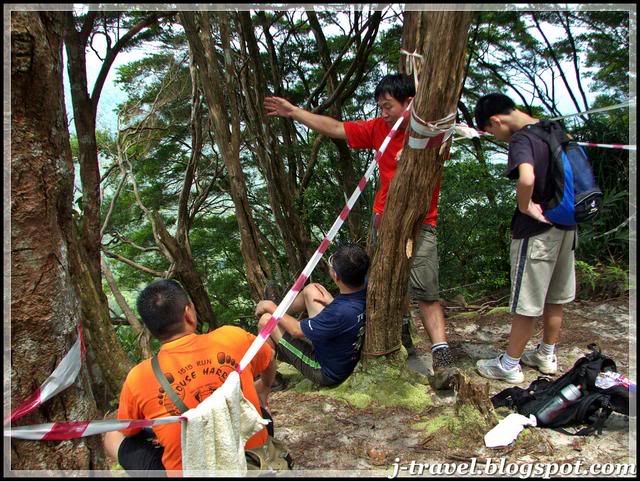 "If you like to hike the opposite mountain, I can arrange..." the leader said...
 The boy who bite by the leeches....actually the trail was full of leeches!
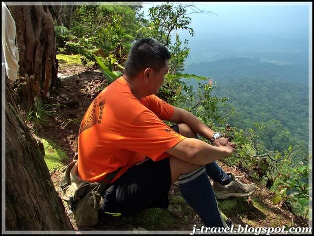 The way he Talk to the 'Nature'. The same way he talked to the fish.
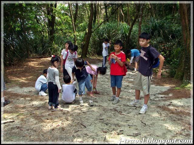 The kids were having their Party on the Peak!
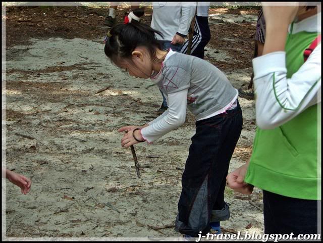 She was the 6 years old - Youngest Hiker Of The Group!
 Anyone want water? I have plenty!! Let me squeeze... :)
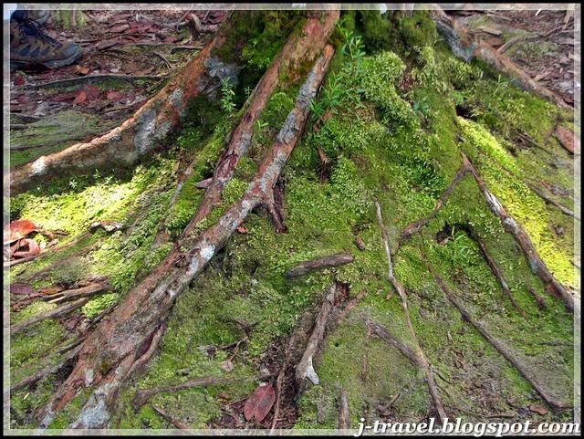
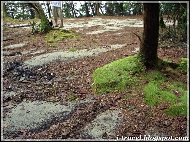 I Love the 'Moss'!!
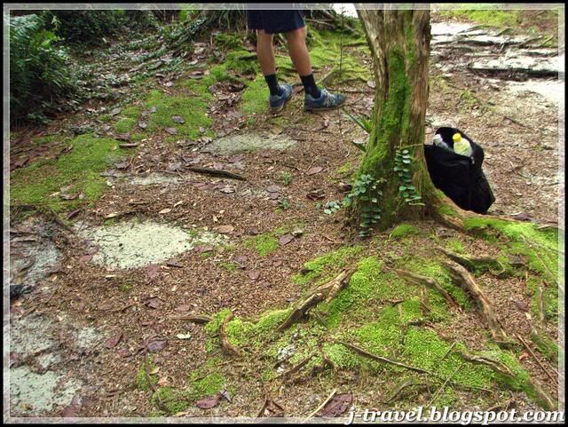
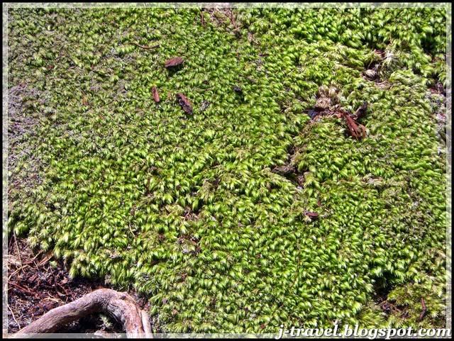 Closer look!
Even they are not as much as Mossy Forest at 'Cameron Highland'
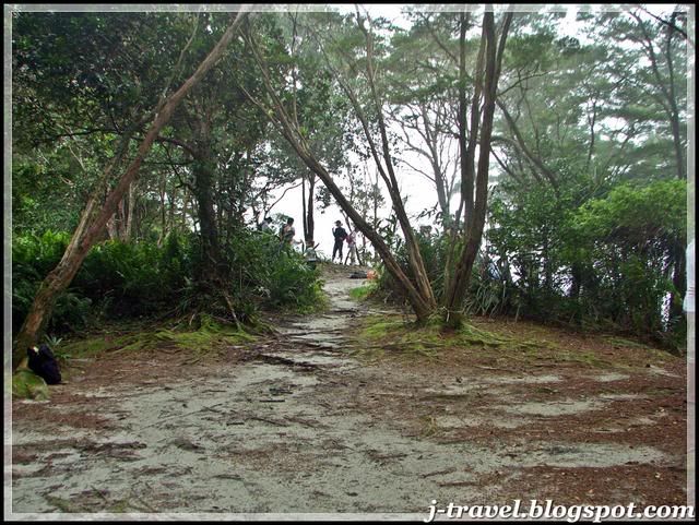
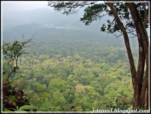
Below are the scenic view from the peak.......
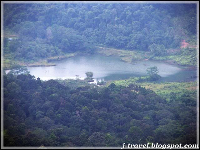
 The Kota Tinggi Bypass Expressway.
 Below this rock, it's actually empty.....you can refer from the first picture
The Kota Tinggi Bypass Expressway.Below this rock, it's actually empty.....you can refer from the first pictureAfter an hour rest on the peak, some finished their 'Tuna Bread', some finished their 'Red Bean Bread', we preparing to get down......
 We had to follow the same tough way back....
We had to follow the same tough way back....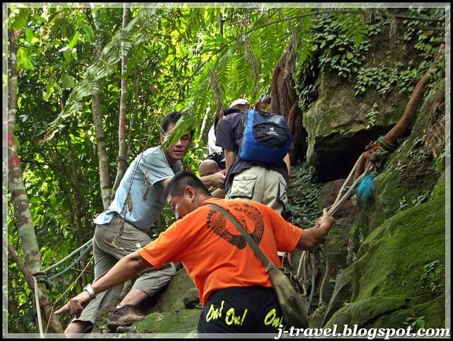 The experience Hikers gonna do their duty...
The distance from our carpark to the peak was about 4-4.5KM. The whole trip was about 9KM. I had learned something that I never read from the book.
* Friends were helping each other during the journey.....
* Take small step as you can, avoid all the big step during your journey...
* Don't breath from your mouth, but from your noose...
* Friends were helping each other during the journey.....
* Take small step as you can, avoid all the big step during your journey...
* Don't breath from your mouth, but from your noose...
* Lastly, LOVE and protect the nature!
After all of us descending and reached the carpark, I realised that how much I LOVE the flat ground!! It's took us 2 hours......
Myself was totally exhausted! Most of us rest for about 45 minutes and proceed for our lunch, I took one hour......(That was about 3pm in the evening)
This was the time I learned to climb!! Hopefully it's not too late......
* According to the History.....during the Second World War, the peak of the mountain was the British Military Base as a Observation Tower.
Related post :-
* Camping at Mount. Ophir (Gunung Ledang), Johor
* Riverside Restaurant, Kota Tinggi, Johor
* Hike on Mount. Ophir (Gunung Ledang), Johor
* The Hike of Chang and friends at Gunung Panti, Johor
MY TRIPS - Home
No comments:
Post a Comment